Publisher & Author
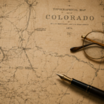
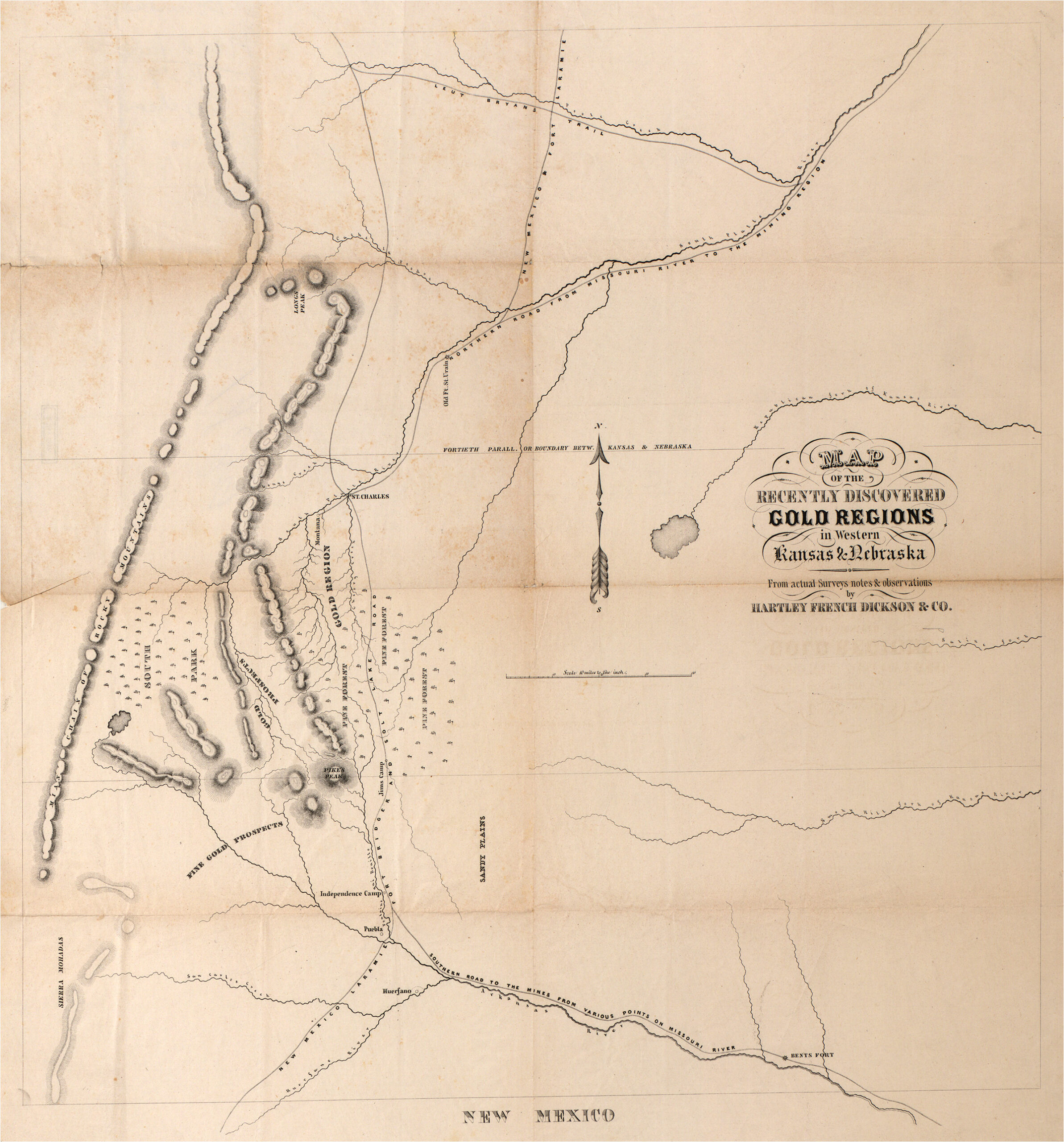
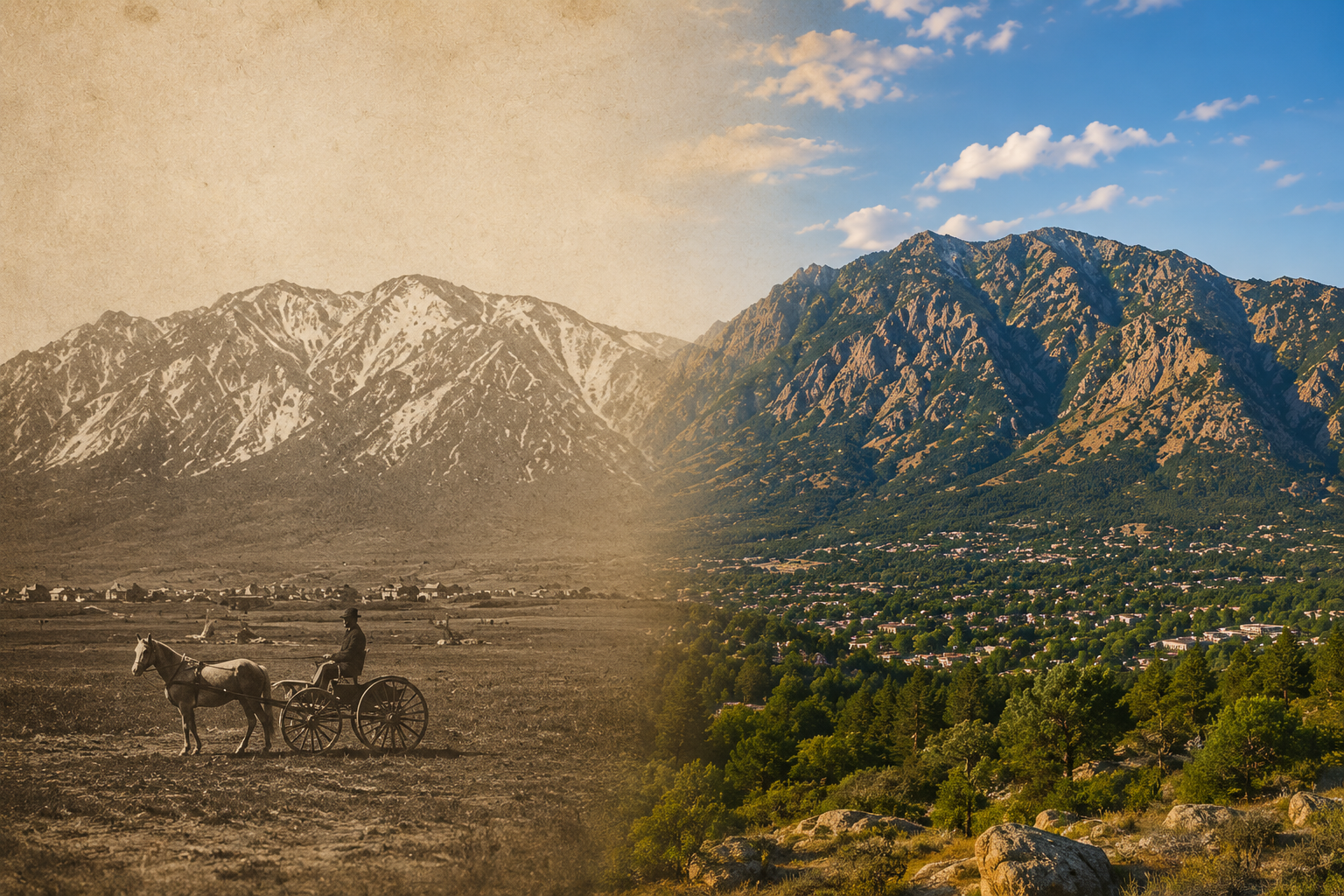
At age 76, P. J. Anderson found himself surrounded by three four-drawer filing cabinets filled with decades of information on Cheyenne Mountain. Some of it came from legal work involving historical records. Some came from families who shared original homestead documents and stories passed down through generations. Much of it came from thirty years spent exploring Cheyenne Mountain alongside his son and co-author, Patrick. That information became the foundation for his book Cheyenne Mountain, Here’s Looking at You. Research for the Cheyenne Mountain book led to the discovery that explorers Zebulon Pike, Stephen H. Long and John C. Fremont had traveled the foothills of Cheyenne Mountain in the early 1800’s which piqued his curiosity as to who had drawn the first maps of future Colorado. The maps he found by digging deeply into public and private map collections around the world laid the foundation for his subsequent book, The Mapping of Colorado, From Indigena to Statehood.

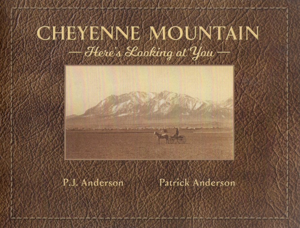
The first comprehensive history of one of Colorado's most iconic landmarks.
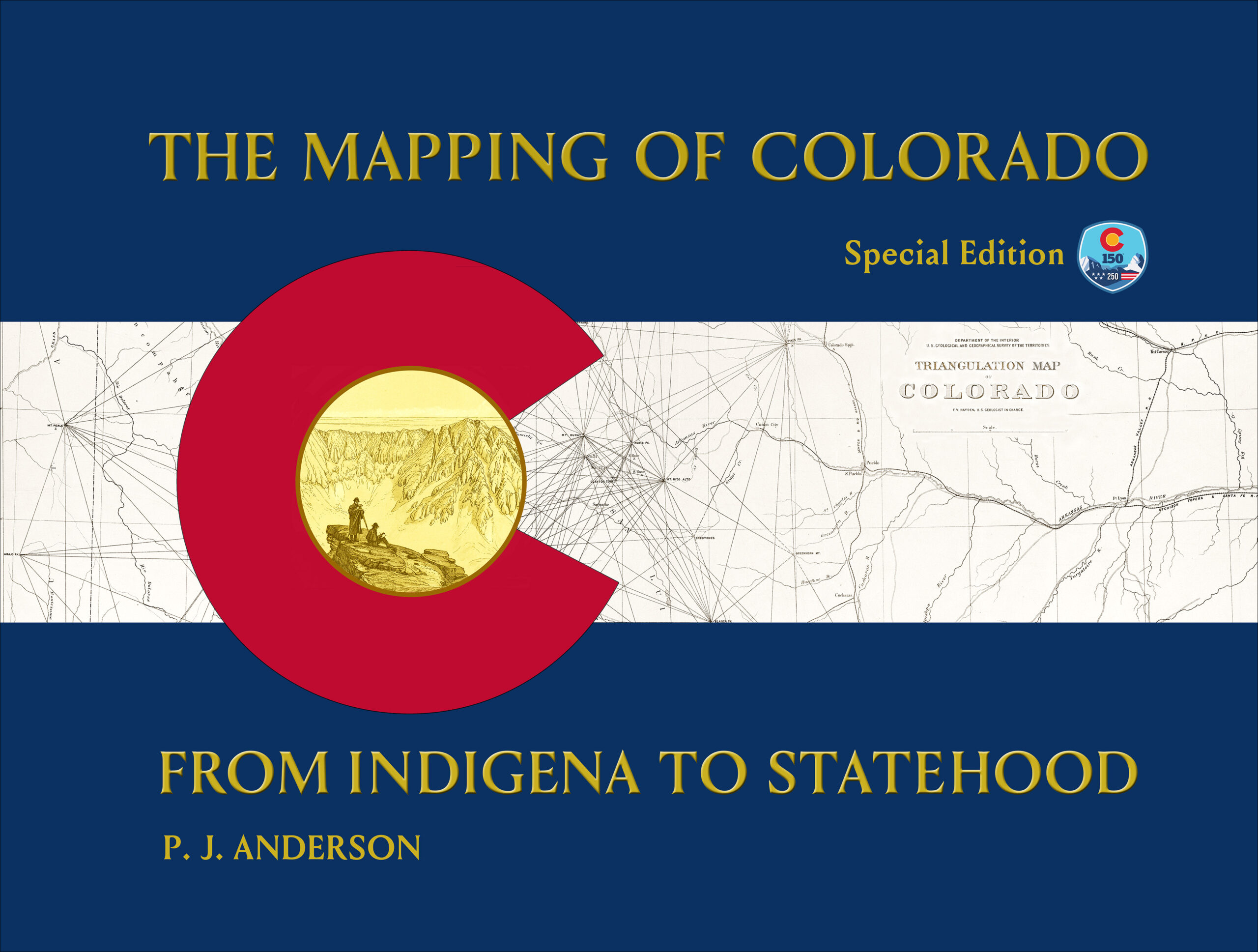
A visual history of Colorado told through nearly four centuries of maps.
© Copyright 2026 | Privacy Policy | All Rights Reserved | Powered by Mountain Air Marketing