Publisher & Author
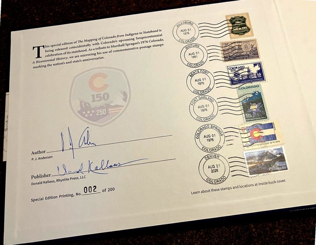
The Mapping of Colorado, From Indigena to Statehood is a limited, numbered Collector’s Edition, one of only 200 printed, designed to coincide with Colorado’s Sesquicentennial celebration of statehood in 2026. Six commemorative birthday stamps from 1876, 1951, 1976, and 2026, each postmarked from a historic Colorado post office, are displayed on the inside of the front cover, with a detailed discussion of the stamps on the inside back cover.
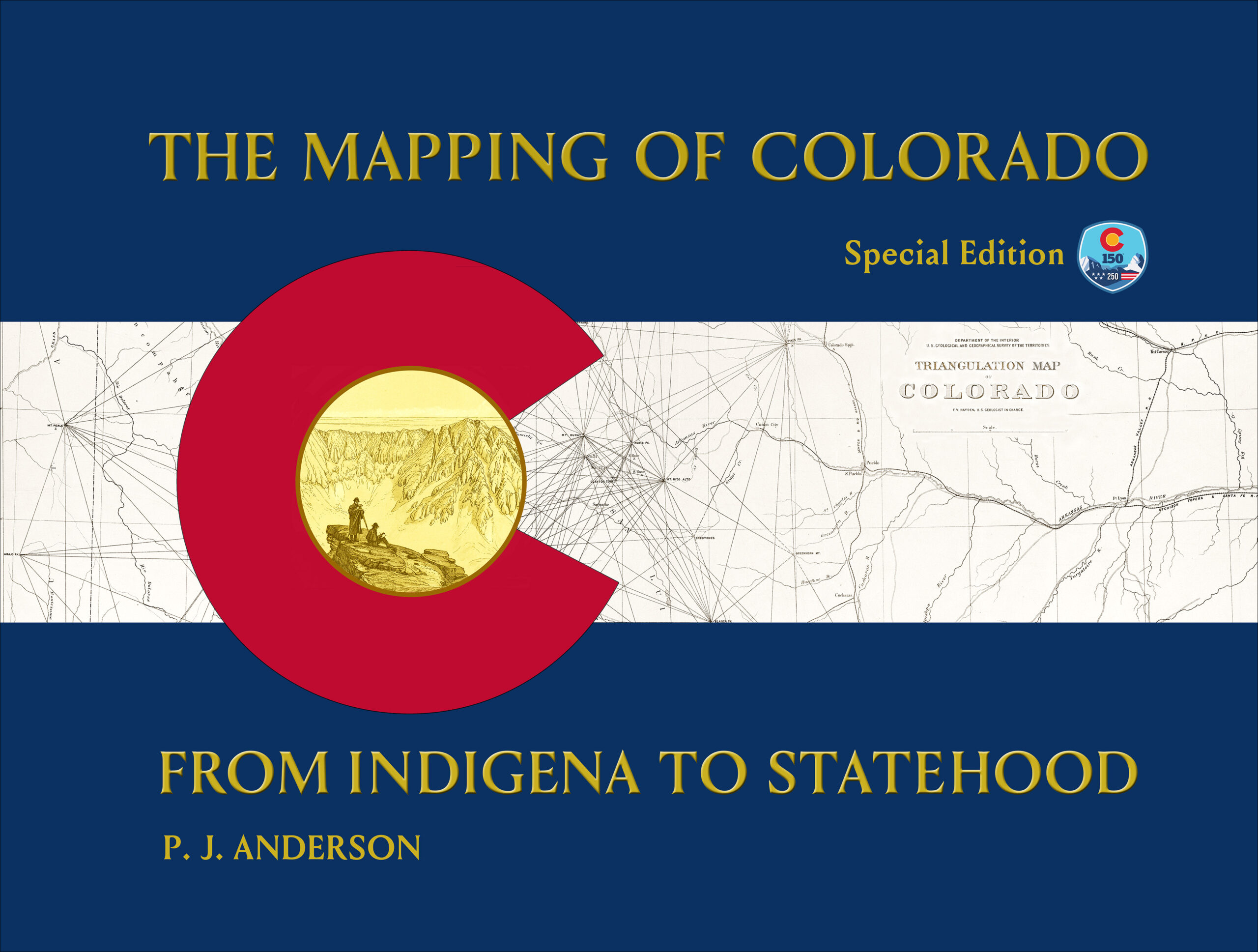
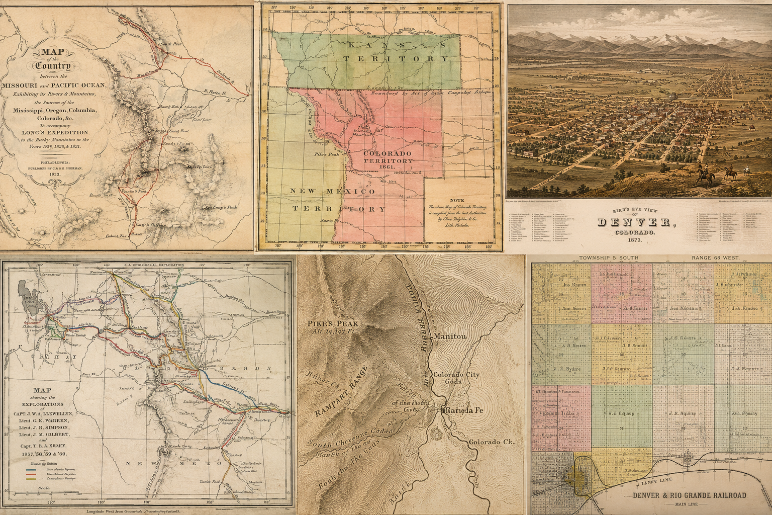
The Mapping of Colorado: From Indigena to Statehood is the story of Colorado maps, the people who made them, the methods they employed and what can be found on them. Beginning at a time prior to European contact, when the North American continent was entirely unknown to the rest of the world until the State of Colorado was created in 1876, nearly 400 years later, the state’s history is viewed through the lens of maps showing what people knew or thought they knew at the time. Ninety surviving maps of the origins of our State, found in the archives of the Library of Congress, Denver Public Library, History Colorado and numerous public and private collections, are reproduced in high resolution. These include those of the first explorers, the Native American reservations, Mexican land grants, Kansas Territory, the establishment of the Colorado Territory in 1861, first township surveys, Great Surveys, early trails, gold rush routes, mail and stagecoach routes, railroads, and panoramic views of the State’s cities and towns.
Before photography, movies and television, it was these printed and hand-colored maps that introduced Colorado’s geographical features, diverse cultures, and early development to the world. This is their story.
“P. J. Anderson’s narrative provides both a history of Colorado as told through maps and an essay about the maps and their makers. Each phase of the state’s cartographic past is covered, including the period of total obscurity, the key explorations, the gold rush, and eventual commercial development. Anderson weaves a story that will entertain and inform. The images of maps are chosen with care and reproduced to a high standard. With an extensive cartobibliography briefly describing about 250 maps, the book will serve as a lasting reference.”
– Wesley Brown, Co-founder, Rocky Mountain Map Society and one of Colorado’s foremost map collectors and benefactors.
Readers will discover:
This book, as well as the Cheyenne Mountain book, is also available locally at Hooked on Books, 12 E. Bijou St., Colorado Springs, and in Fountain, CO at Dewitt Enterprises “Home of the Secret Bookshop” 404 N. Santa Fe Ave, appointment recommended, 719 473-0330.
© Copyright 2026 | Privacy Policy | All Rights Reserved | Powered by Mountain Air Marketing