
Publisher & Author

Tracing Stories Through Time
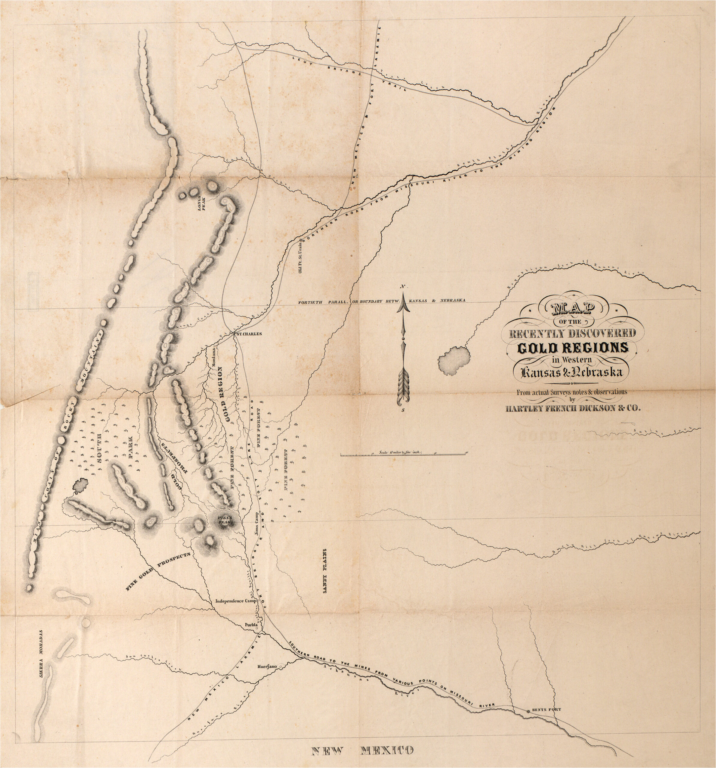
For more than three decades, P. J. Anderson has pursued stories hidden within Colorado’s landscapes, archives, maps and family records. What began as a lifelong interest in local history evolved into years of research, initially centered around Cheyenne Mountain and the Pikes Peak region. Alongside his son Patrick, he spent thirty years exploring Cheyenne Mountain’s trails, uncovering forgotten accounts and preserving stories that might have otherwise been lost. Learning that Zebulon Pike, Stephen H. Long and John C. Fremont had all traveled along the foothills of Cheyenne Mountain in the early 1800’s, they wondered who had been the first to map Colorado. They learned that the first map of Colorado drawn from observable information was a 1777 Spanish map which had then influenced later maps of the early American explorers’ travels through “Colorado” which had then influenced the maps used during the Pikes Peak Gold Rush which had then influenced the maps that created the Territory and State of Colorado. It was fascinating and became the genesis for The Mapping of Colorado, From Indigena to Statehood.
© Copyright 2026 | Privacy Policy | All Rights Reserved | Powered by Mountain Air Marketing